Hojancha is a canton in the Guanacaste province of Costa Rica. The head city is in Hojancha district.
History
Hojancha was created on 2 November 1971 by decree 4887.
On 5 September 2012, a magnitude 7.6 earthquake struck 12 kilometers northeast of Hojancha, destroying houses in the canton.
Geography
Hojancha has an area of 261.42 km² and a mean elevation of 389 metres.
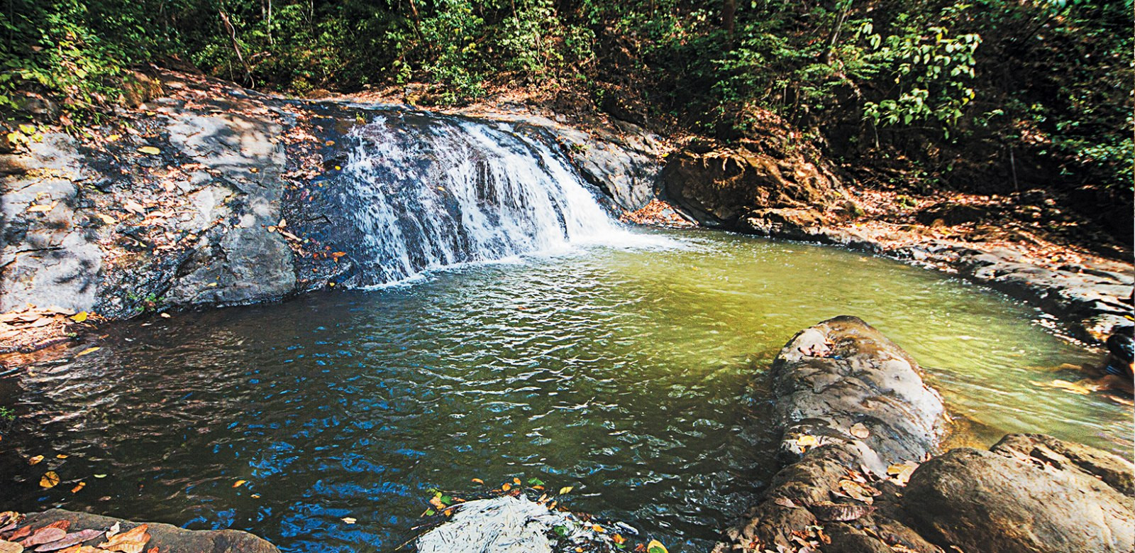
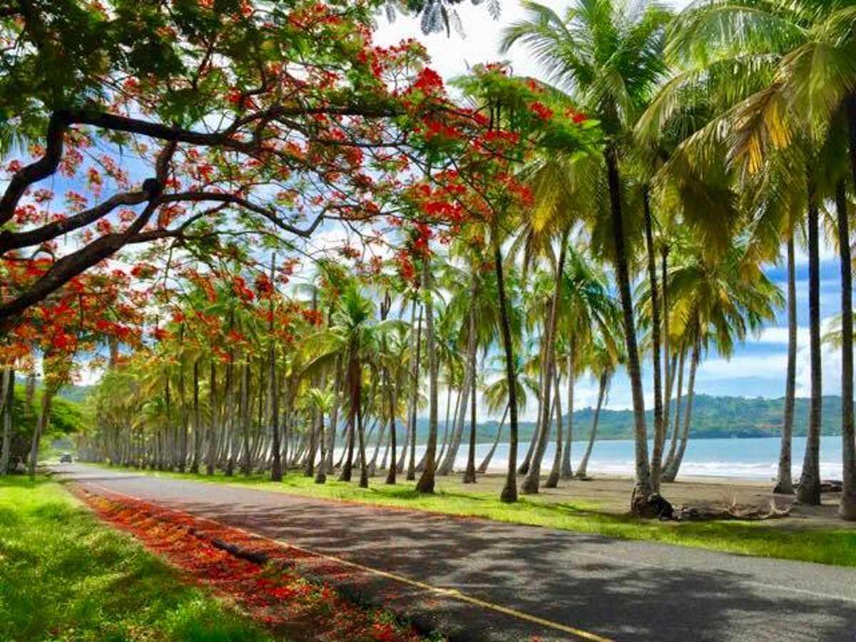
The canton is in the midsection of the Nicoya Peninsula. It is relatively compact, with a slim area reaching south to encompass a small portion of the Pacific coastline from Carrillo Beach southward to the mouth of the Ora River.
Districts
The canton of Hojancha is subdivided into the following districts:
- Hojancha
- Monte Romo
- Puerto Carrillo
- Huacas
- Matambú
Demographics
For the 2011 census, Hojancha had a population of 7,197 inhabitants.
Transportation
Road transportation
The canton is covered by the following road routes:
References